Inō no Hi (Inō’s Tombstone)
- Modification: 2024/01/11
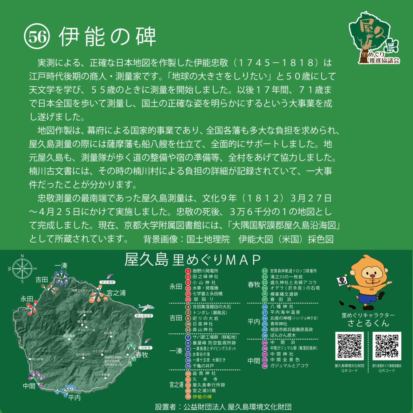
- Area: miyanoura
Tadataka Inō (1745–1818), the man who created the most accurate-to-scale map of Japan of his age, was a merchant and surveyor during the latter days of the Edo period.
“I want to know the size of the Earth,” he declared, and at the age of 50 began to study astronomy. At 55, he began his work as a surveyor and cartographer. For the next 17 years, he traversed Japan by foot, taking precise measurements and painting a clear picture of Japan’s landscape and geography. At the age of 71, he finally completed this monumental task.
The creation of his map was a state project, sponsored by the Tokugawa Shogunate. The burden of this project also fell onto regional feudal domains. During Inō’s survey of Yakushima, for example, the Satsuma clan deployed eight ships to support his cartographic efforts. The community of the island also mobilised, clearing paths and roads for the surveying team as well as preparing its food and accommodation.
Details of this project are recorded in Kusugawa Village’s ancient archives—apparently, it was quite a large-scale affair.
Yakushima was, in fact, the southernmost reach of Inō’s national survey. He spent approximately one month between March 27 and April 25, 1812 (Bunka 9), on the island. The map of Yakushima, which was one of 36,000 from Inō’s survey, was completed after his death. This map is currently on display at Kyoto University Library as Ōsuminokuni Gomugun Yakushima Enkaisenzu.
(Background image: Watercolor Inō Map, Geospatial Information Authority of Japan)